
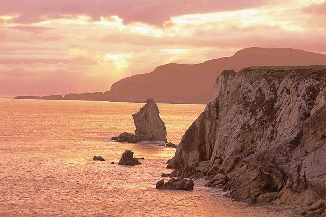
Connected to the mainland by a bridge, Achill Island (Oilean Acaill) is Ireland’s largest offshore island — and one of its most dramatic landscapes.
Beaches, cliffs and bog
The island is home to picture-postcard beaches, some of Europe’s highest cliffs and large tracts of blanket bog that sweep over the island’s two peaks and run all the way down to the shore. It is a playground for outdoor lovers: walking, cycling, kayaking, surfing, kite-surfing, fishing, golf and horse riding are all on offer.
5,000 years of settlement
Achill’s history runs deep. Megalithic tombs and promontory forts dating back 5,000 years dot the landscape, alongside a 15th-century fortified tower house — reminders of the generations who have made a life on this Atlantic edge.
Getting there and around
The island is reached via the Michael Davitt Bridge at Achill Sound. The Achill Tourism office in the Davitt Quarter is the best first stop for maps, advice and local knowledge.
Plan your visit
- Where: Achill Tourism, Davitt Quarter, Achill Sound, County Mayo
- Phone: +353 98 20400
- Web: achilltourism.com
Details sourced from the Failte Ireland Open Data API.